SAGA GIS 8
Free Version
Publisher Description
SAGA - System for Automated Geoscientific Analyses - is a Geographic Information System (GIS) software with immense capabilities for geodata processing and analysis. SAGA is programmed in the object oriented C++ language and supports the implementation of new functions with a very effective Application Programming Interface (API). Functions are organised as modules in framework independent Module Libraries and can be accessed via SAGA’s Graphical User Interface (GUI) or various scripting environments (shell scripts, Python, R, ...).
Please provide the following reference in your work if you are using SAGA:
Conrad, O., Bechtel, B., Bock, M., Dietrich, H., Fischer, E., Gerlitz, L., Wehberg, J., Wichmann, V., and Boehner, J. (2015): System for Automated Geoscientific Analyses (SAGA) v. 2.1.4. Geosci. Model Dev., 8, 1991-2007, doi:10.5194/gmd-8-1991-2015.
.
For more information visit the project homepage and the wiki.
Features
- Object oriented system design (C++)
- Modular structure allows framework independent function development
- SAGA API with immense support for geodata handling
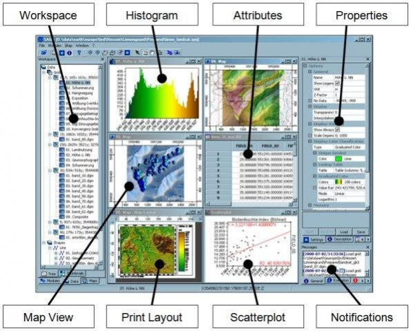
- GUI for intuitive data management, analysis and visualization
- Runs on Linux as well as on Windows operating systems
- Portable software running without installation even from memory sticks (MSW)
- Free and Open Source Software (FOSS)
- Scripting via command line, Python, Java, R
- Far more than 450 freely available functions for geodata analysis
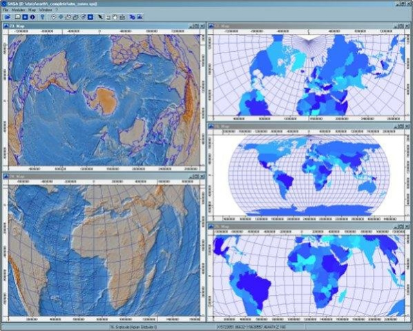
- Georeferencing and cartographic projections
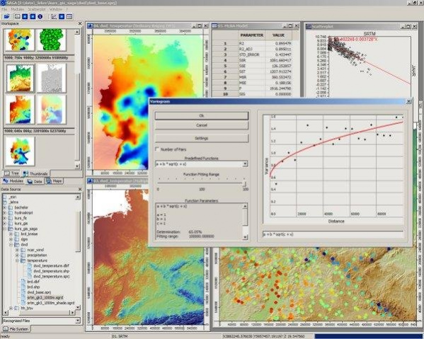
- Grid interpolation of scattered point data, triangulation, IDW, splines, ...
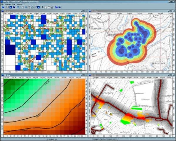
- Vector tools: clipping, buffer zones, raster to vector conversion, ...
- Image analysis: filters, supervised classification, PCA, FFT, OBIA, ...
- Geostatistics: GWR, variograms, ordinary & universal Kriging, ...
- Terrain analysis: morphometry, hydrology, illumination, classification, ...
- and many more ...
About SAGA GIS
SAGA GIS is a free software published in the Computer list of programs, part of Education.
This Computer program is available in English. It was last updated on 22 April, 2024. SAGA GIS is compatible with the following operating systems: Linux, Mac, Windows.
The company that develops SAGA GIS is oconrad. The latest version released by its developer is 8. This version was rated by 48 users of our site and has an average rating of 3.5.
The download we have available for SAGA GIS has a file size of 90.98 MB. Just click the green Download button above to start the downloading process. The program is listed on our website since 2022-07-14 and was downloaded 8,746 times. We have already checked if the download link is safe, however for your own protection we recommend that you scan the downloaded software with your antivirus. Your antivirus may detect the SAGA GIS as malware if the download link is broken.
How to install SAGA GIS on your Windows device:
- Click on the Download button on our website. This will start the download from the website of the developer.
- Once the SAGA GIS is downloaded click on it to start the setup process (assuming you are on a desktop computer).
- When the installation is finished you should be able to see and run the program.
